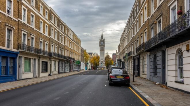
Recently, an anonymous imgur user uploaded several images of a derelict city decaying to the point of nearly being a ghost town: East St. Louis, IL.
Though it was once one of the most successful cities in the state, and was the fourth largest in 1950, the restructuring of the railroad industry, building of highways out of its way, and the de-industrialization of the city has brought it to near-economic ruin and, in 2014, it became the most most violent city in the United States.
The images were collected by Google Earth, a virtual globe featuring actual images from nearly everywhere on Earth. The images are obtained through satellites and can show cities, streets, and even particular buildings in detail.
Basically, imagine you're in an airplane flying over a city and you see a building that interests you. Google Earth allows you to "zoom in" on that particular building due to the satellite imagery.
These haunting images show the effects of the economy on this town that is emblematic of the decay caused to other similar Midwestern cities.
Please SHARE!
h/t: Boredom Therapy
The U.S. Department of Housing and Urban Development describes it as "the most distressed small city in America."

As of 2007, the average national murder rate was 5.6 per every 100,000 people. East St. Louis had a national rate of 101.6 per every 100,000 people.

This rate is even higher than the entire country of Honduras.

According to crime statistics, there is a 1-in-28 chance of a person becoming the victim of a violent crime in East St. Louis.

The odds of being the victim of property crime are even higher. One in every nine people becomes the victim of property crime.

Over a third of the population is still below the poverty line, and the median income level is just slightly above $21,000 a year.

Community organizations and charities have been diligently working to follow Detroit's model in urban renewal.

There are plans to build a branch of Western Illinois University, and they have begun urban farming plans.

Additionally, a new library and city hall have been built, but there are still large swatches of the city that remain untouched.

The city is also trying to use gambling to attract visitors and create jobs.

One of the town's major sources of income and employment was the Monsanto manufacturing plant.

Allegedly, the plant was releasing large amounts of pollution, contamination, and toxic waste. In 1982, the nearby town of Times Beach, MO was so contaminated by dioxin, the government ordered the city to be evacuated.

It's believed that the byproducts of the Monsanto plant still affect East St. Louis. It is the city with the highest number of fetal deaths and premature births in the state.

When fires destroyed numerous city blocks, the director of the disaster film Escape From New York chose to film some scenes in East St. Louis.

The population of the city has declined 15 percent since 2000.

The city government's website admits many of the town's problems, but suggests to interested employers, visitors, and potential new residents that the city is entering a "Renaissance period."

Let's hope the city is able to recover!

Sources: US Census, Neighborhood Scout, The City of East St. Louis, The EPA.
Please SHARE if you believe in the power of communities!